
Proudly serving Marin County
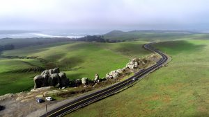
Overall Improvement of County Roads
Pavement Condition Index score for Marin has increased from 66 to 68
Learn more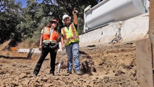
County Public Works Engineer Receives Top Award
Rachel Calvert is honored by the American Public Works Association
Learn more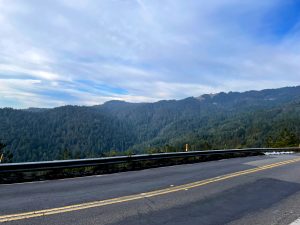
Panoramic Highway to Operate on One Lane
A single lane of traffic control will be in place at milepost 2.26 for about 2 months
Learn more
Panoramic Highway Guardrail Work to Begin
Travelers near Mount Tamalpais to be affected by construction zone
Learn more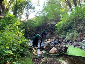
Storm Season Preparations Completed
County conducted annual maintenance work ahead of potentially wet winter
Learn more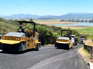
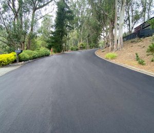
11.3 Miles of Pavement Preservation to Begin
CalRecycle grant funds secured for road maintenance using recycled tires
Learn more
Marin Center Campus Projects Ramp Up
Veterans’ Memorial Auditorium progressing, campus entry work to begin soon
Learn more
$4M Grant Awarded to Divert Trash from Marin Waterways
EPA funding will help create pollution prevention infrastructure
Learn more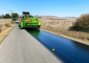
13% of County Roads Improved During Fiscal Year 2022/2023
56.8 miles of County roads being worked on during the 2022-2023 paving seasons
Learn more